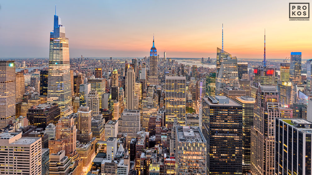
How Land Area Shapes Density
(1) Claim. Among big cities, land area is the quiet variable behind how “dense” a place feels. Smaller footprints push population into tighter spaces; large footprints spread people out.
We’ll compare U.S. cities and cross-check the pattern with another sample.

(2) Dense among the biggest (U.S.). Compact footprints concentrate people and activity.
| City | Density/mi² | Land (mi²) |
|---|---|---|
| New York | ~29,300 | 300.5 |
| San Francisco | ~18,600 | 46.9 |
| Chicago | ~12,100 | 227.7 |
| Philadelphia | ~11,900 | 134.4 |
| Washington, DC | ~11,000 | 61.1 |
High density pairs big populations with relatively small land areas.
(3) Spread-out footprints (U.S.). Large land areas dilute density even with big populations.
| City | Land (mi²) | Density/mi² |
|---|---|---|
| Jacksonville | 747 | ~1,270 |
| Houston | 640 | ~3,600 |
| Phoenix | 518 | ~3,100 |
| San Antonio | 499 | ~2,900 |
| Dallas | 340 | ~3,600 |
Compare to San Francisco’s 46.9 mi² — footprint size explains a lot of “feel.”
(4) Cross-check with another sample. The footprint↔density story holds in other datasets too.

Example: Vancouver’s smaller urban footprint correlates with very high density compared with larger-area peers.
(5) Takeaways.
• Land area is the lever behind on-the-ground intensity.
• Compact: New York, San Francisco, DC.
• Spread-out: Jacksonville, Houston, Phoenix.
• Same pattern appears beyond the U.S.
Planning angle: footprint size affects transit demand, trip lengths, housing form, and service placement.